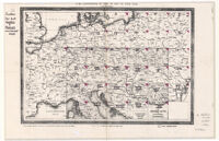
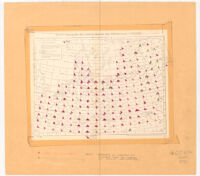
Für die Zusammenstellung der Blätter der Karte von Central - Europa. Date: 1856 Resource Type: cartographic Collection: Henry J. Bruman Map Collection
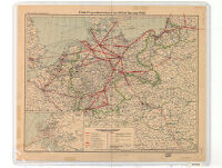
Erste Flugverkehrskarte von Mittel- Europa 1922 Date: 1922 Resource Type: cartographic Collection: Henry J. Bruman Map Collection
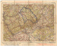
Liebenow- Ravenstein's Special - Radfahrerkarte von Mittel - Europa Date: 1904 Resource Type: cartographic Collection: Henry J. Bruman Map Collection
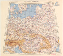
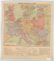
Political Map of Central Europe Date: [1938] Resource Type: cartographic Collection: Henry J. Bruman Map Collection
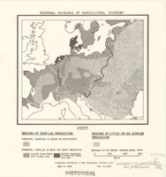
Regional Divisions of Agricultural Economy Date: Feb 13, 1942 Resource Type: cartographic Collection: Henry J. Bruman Map Collection
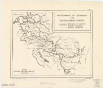
Waterways of Germany and southeastern Europe Description: R & A, OSS. Date: [1943] Resource Type: cartographic Collection: Henry J. Bruman Map Collection
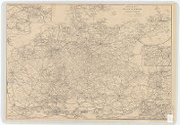
Eisenbahn-Karte von Mittel-Europa zu Hendschel's Telegraph Date: 1900 Resource Type: cartographic Collection: Henry J. Bruman Map Collection
Ravensteinkarte der Westfront von Koblenz bis Basel Description: Folded title: Ravensteinkarte der Westfront, Koblenz/Basel. Date: 1940 Resource Type: cartographic Collection: Henry J. Bruman Map Collection
Übersichtskarte von Mitteleuropa 1:300,000 Description: Revised editions by Reichsamt für Landesaufnahme 1938-1943, and Institut für Angewandte Geodäsie 1939-1965. Date: 1893- Resource Type: cartographic Collection: Henry J. Bruman Map Collection