Einienführung während des Reichsparteitages 1938. Resource Type: cartographic Collection: Henry J. Bruman Map Collection
Panoramic perspective of Central Valley Project of California Description: A.A. Abel. Date: [1938?]1938 Resource Type: cartographic Collection: Henry J. Bruman Map Collection
City of Los Angeles, California Description: "Map of Los Angeles harbor, California," map of "The whole city of Los Angeles," and text on verso. Date: 1928 Resource Type: cartographic Collection: Henry J. Bruman Map Collection
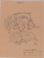
Camp d'Instruction de la Courtine Date: 1926 Resource Type: cartographic Collection: Henry J. Bruman Map Collection
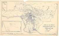
County of Los Angeles distribution of population, April, 1950. Description: Insets: [Santa Catalina Island and San Clemente Island] -- Northern part of Los Angeles County. Date: 1950 Resource Type: cartographic Collection: Henry J. Bruman Map Collection
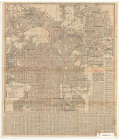
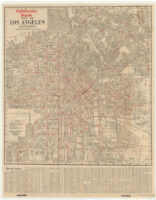
California Bank map of Los Angeles, California. Description: Panel title: Free street map of Los Angeles. Date: 1925? Resource Type: cartographic Collection: Henry J. Bruman Map Collection
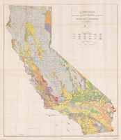
Reconnaissance erosion survey of the State of California Description: "Base map by U.S. Geological Survey, 1929." Date: [1934?] Resource Type: cartographic Collection: Henry J. Bruman Map Collection
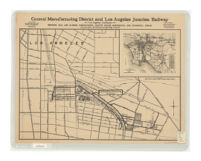
Central Manufacturing District and Los Angeles Junction Railway, Los Angeles California, showing rail and harbor connections, traffic roads, residential and industrial areas Description: "Frick, 1932." Date: [1932] Resource Type: cartographic Collection: Henry J. Bruman Map Collection